In early March, a secondary school student from Hong Kong was stopped by a mainland Chinese customs officer who demanded to see their school text books. When the customs officer discovered that the map of China used in one textbook did not conform to the official version of the national map, they ripped out the offending page and reportedly finger printed the traumatised student.
But rather than complain to customs about the harassment of its students and the destruction of school property, the school profusely apologised for using an “illegal map,” and promised to rectify its mistake immediately.
The supervisor of the Fung Kai Liu Man Shek Tong Secondary School, Ma Siu-leung, told the South China Morning Post that, “We have to abide by the nation’s laws. The simplest way is we have already downloaded the most updated version and will help students replace [the other map] … we will do it by today.”
The main “error” of the map used in the school book was the lack of the all-important (and recently extended) ten-dash line encircling all the territory claimed by China in the Taiwan Straits and the South China Sea (also claimed by Vietnam, the Philippines, Indonesia and Malaysia), and the “misspelling” of the Diaoyu Islands, using the term preferred in Taiwan (钓鱼台) rather than the mainland’s current version (钓鱼岛).
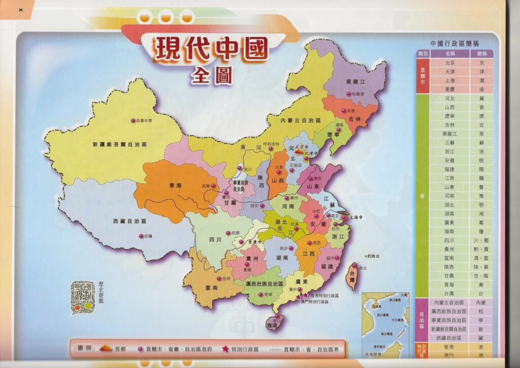
The offending map – reproduced by the South China Morning Post. The “correct” map can be seen on China’s Google, Baidu Maps.
It is important to note here that this incident took place against the background of the drafting of Hong Kong’s domestic National Security Law, which aims to be even more stringent than the original imposed by Beijing after the 2019 protests. In this context, school administrators and civil servants had no option but to toe the (ten-dash) line.
As the People’s Republic of China begins to assert itself more on the global stage, it clearly feels the need to ensure that all its territorial claims are rigorously defended, even if it is just on paper. Displaying the wrong map, it seems, is just as much of a threat to Chinese national security as playing the wrong national anthem. The Hong Kong government has spent an inordinate amount of time and money trying to prevent the anthem of the 2019 protests Glory to Hong Kong being erroneously played at international sporting events, and now the Education Department is ramping up its efforts to purge all school textbooks of incorrect maps.
This may seem excessive but all nation states, to some extent, use school textbooks and maps to assert their world view. When I was a school student in Britain in the 1970s, the maps still bore the legacy of Britain’s imperial past. The standard global map at that time used the notorious Mercator Projection that stressed the primacy of the northern hemisphere, and proudly displayed the extent of Britain’s Commonwealth countries and remaining colonies in pink – with the vast expanse of Canada particularly prominent.
The maps asserted that while Britain was fading as an international power (compared with the United States and the Soviet Union), it was still a great country whose sphere of influence extended across the globe. Patriotic students could still just about claim that “the sun never sets on the British empire.”
The school textbook maps used in Hong Kong today are likewise designed to engender and stimulate national pride and assert China’s regional might. I suspect the government’s forceful approach to adopting the correct map is partly in recognition of the fact that China’s claims to the South China Sea and Taiwan are really quite flimsy. When you can’t convince others of the rightness of your claims through rational argument, the only option left is to delineate those claims on your own maps and loudly demand that everyone accept them.
This blunt approach has been used many times before by colonial adventurers. When the European colonial powers first developed modern cartography in conjunction with maritime power from the 16th century onwards, they used these weapons to travel the globe and draw lines of the map to suit their own needs, regardless of any objection from the people living there. And it was not just the lines on the surface that were important. Mapping the natural resources underneath (gold, silver, diamonds, oil and gas) was central to the colonial endeavour, just as it is today in the South China Sea.
Today, British schools are more neutral and not so obsessed with empire as they were 50 years ago but, in the contemporary school atlases I’ve seen, Britain still appears in the centre of the world (traversing the Greenwich Meridian), and the disputed Falkland/Malvinas Islands are marked as a United Kingdom territory with no caveat. Baidu Maps, on the other hand, labels the islands as 马尔维内斯群岛(阿根,英争议)英称福克兰群岛 (Islas Malvinas – disputed by Argentina and the United Kingdom – known as the Falkland Islands by the UK).
Over on the other side of the world, the British school atlas makes no comment on the ownership of islands in the South China Sea. Taiwan, on the other hand, is indicated as a country rather than a province but is also marked in the same colour as mainland China – possibly unintentional but a neat compromise nonetheless.